Next week: Hot and humid, with temperatures generally staying below 100 degrees
FORECAST
SATURDAY
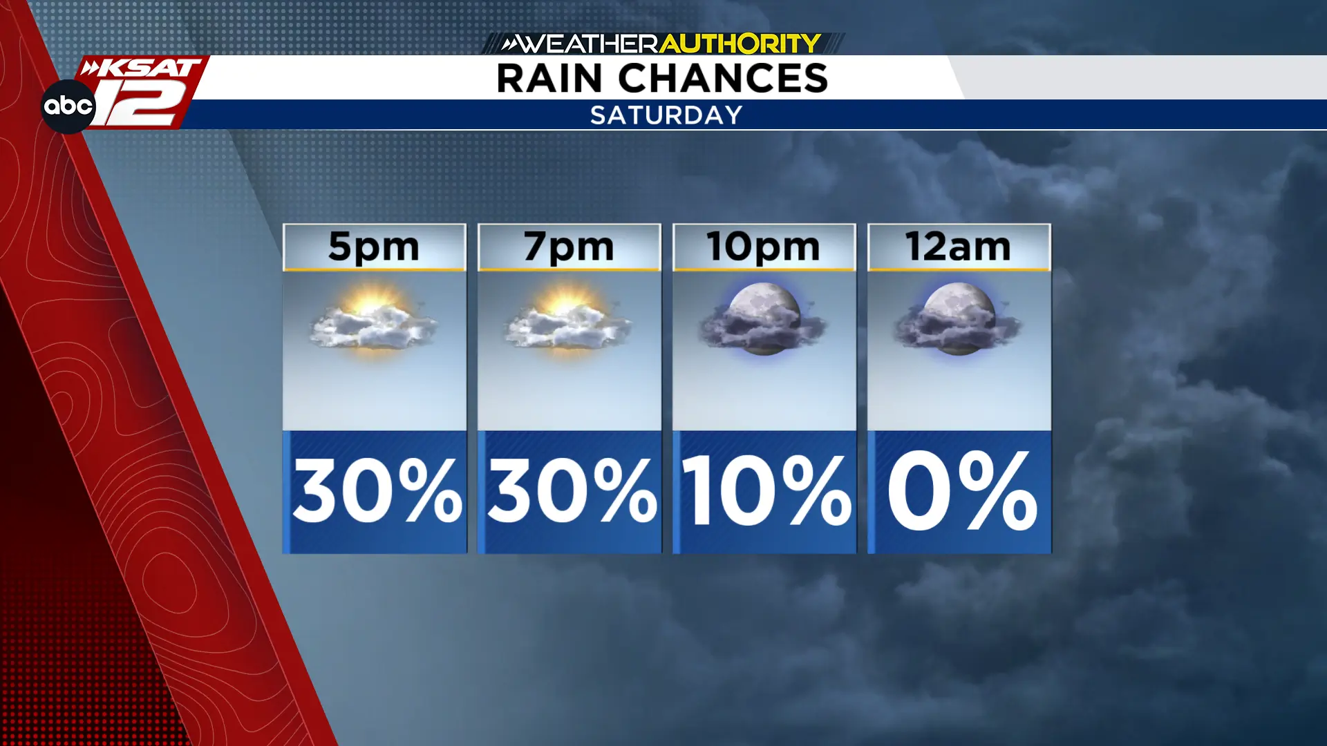
As remnants of Tropical Storm Edouard depart, an incoming Gulf disturbance will trigger isolated showers and storms today. Rainfall will be light, but locally heavy downpours are possible.
Saturday's rain chances taper off through the evening (Copyright KSAT-12 2026 - All Rights Reserved)
LABOR DAY WEEKEND
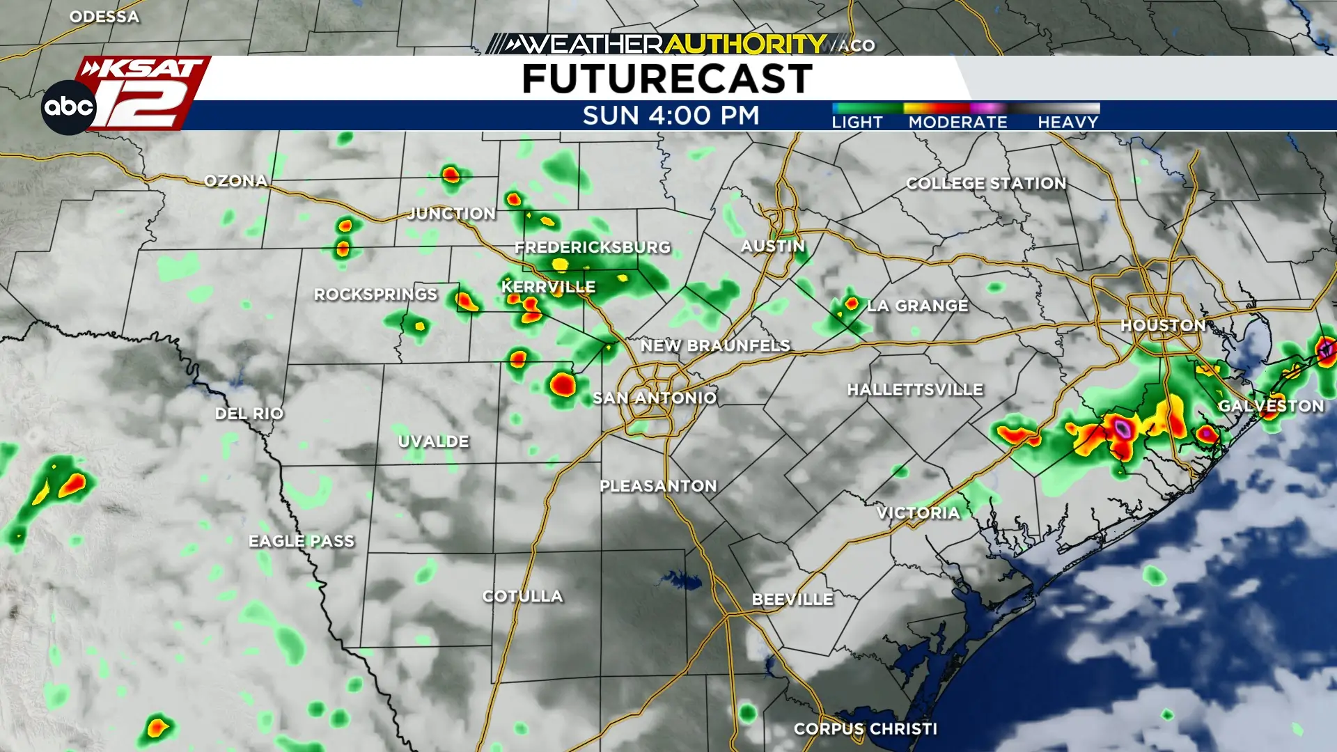
Sunday brings a chance of isolated storms, mainly across the Coastal Plains and Southern Edwards Plateau, while the I-35 corridor stays mostly dry.
Sunday brings a chance of isolated storms (Copyright KSAT-12 2026 - All Rights Reserved)
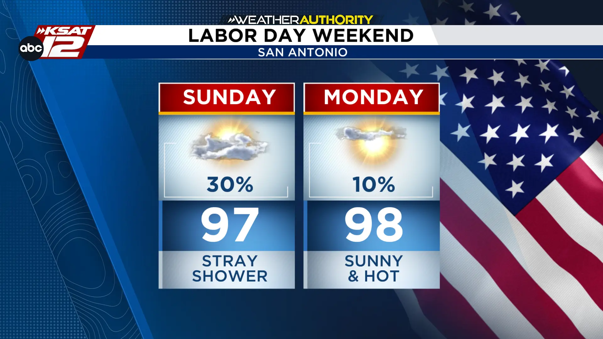
Highs will reach the mid-to-upper 90s with high humidity. Rain chances decrease Monday, though isolated coastal storms remain possible. Conditions will stay hot and humid, with highs in the mid-to-upper 90s and muggy overnight lows in the 70s.
Labor Day Weekend Forecast (Copyright KSAT-12 2026 - All Rights Reserved)
EXTENDED OUTLOOK
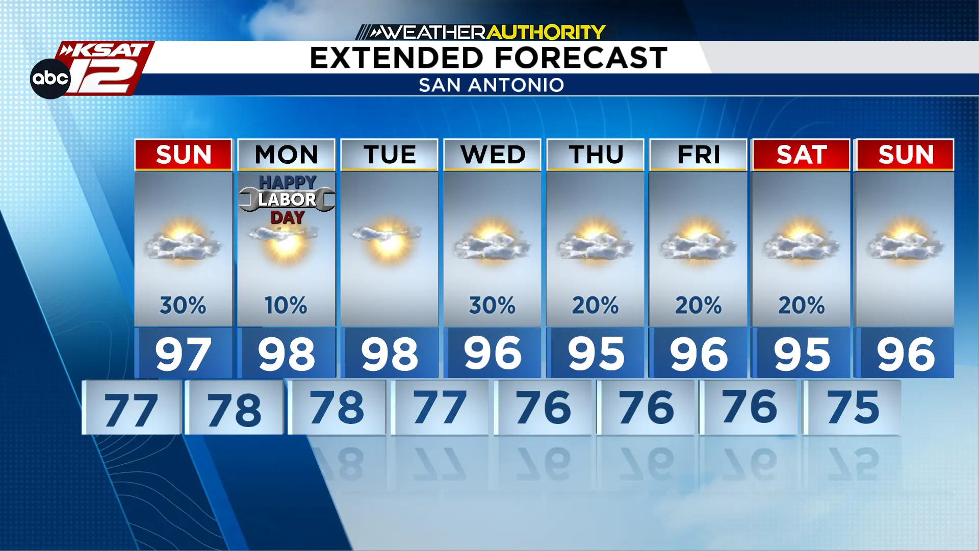
Expect persistent heat and humidity next week, with highs in the mid-to-upper 90s and elevated heat indices east of I-35. Daily isolated storms are likely near the coast, with a potential increase in rain chances late week as a Gulf disturbance approaches.
Extended Outlook (Copyright KSAT-12 2026 - All Rights Reserved)
Daily Forecast
KSAT meteorologists keep you on top of the ever-changing South Texas weather.
Shelby Ebertowski joined KSAT 12 News in January 2025. She came to San Antonio from Fargo, North Dakota via the University of North Dakota, where she learned the ropes as a weekend forecaster over two years at KVLY. Her love of weather love began after experiencing Hurricane Harvey in 2017.