
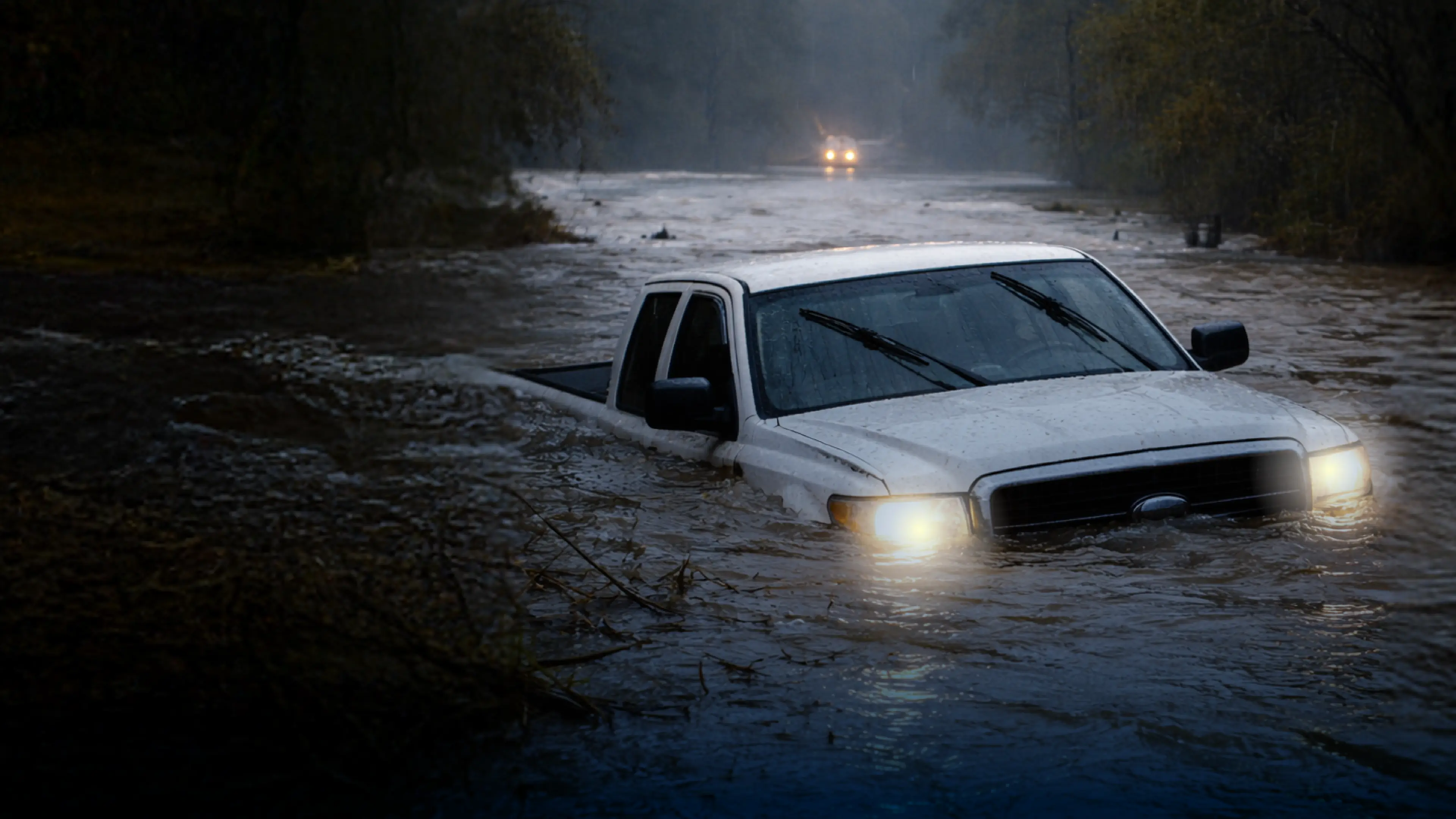
Flood preparation often moves to the top of the list when heavy rain enters the forecast. But in the San Antonio region, waiting until storm clouds appear can leave families with little time to act.
“San Antonio is situated in an area that is easily and quickly impacted by storms, known as Flash Flood Alley,” said Derek Boese, San Antonio River Authority general manager. “Rain from the Hill Country can cause rivers and creeks to rise fast and low-water crossings to become impassable within minutes.”
That is why flood safety should be treated as a year-round responsibility. Understanding the risks, developing a household plan and knowing where to find real-time information can help residents make safer decisions when conditions change quickly.
Why flood risk can be easy to underestimate
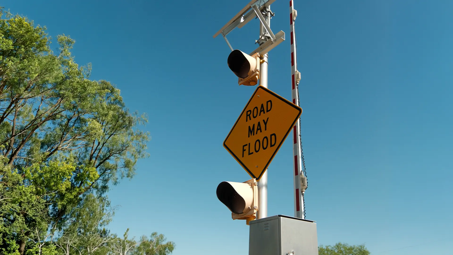
The San Antonio area’s geography, waterways and low-water crossings make it particularly vulnerable to flash flooding. Water can rise rapidly, even when the heaviest rain is falling somewhere else. This can create dangerous conditions with little warning.
One of the most common -- and potentially deadly -- mistakes happen when a driver encounters water covering a road.
“The amount of water on the road can be deceiving,” Boese said. “Even if you’re driving a large truck or higher vehicle, it takes less than 2 feet of water to sweep that vehicle away.”
According to the Floods Don’t Care campaign, people frequently underestimate the power of moving water. A 2021 study cited by the campaign found that nearly 90% of flood deaths occurred when someone attempted to drive or walk through floodwater.
A familiar road or a larger vehicle does not eliminate the danger. Floodwater can obscure washed-out pavement, debris and changes in the road beneath it. If water is covering the road, the safest decision is to turn around and choose another route.
Residents can also underestimate the possibility of flooding at home, particularly if they live outside a designated floodplain.
“Some residents may underestimate their need for flood insurance, oftentimes thinking that if their home is located outside a floodplain, that means they will never experience a flood,” said Bexar County Office of Emergency Management Deputy Chief Michael Morlan. “About 25% of all flood insurance claims come from homes that are in areas considered low risk.”
Homeowners and renters should also know that flood damage is not typically covered by standard homeowners or renters insurance. Flood-safety guidance recommends considering separate flood coverage before a storm approaches, since flood insurance generally has a 30-day waiting period before it takes effect.
Build a plan before it is needed
A household flood plan does not need to be complicated, but it should be written down, shared and revisited throughout the year.
Families should identify where they will go during severe weather, how they will communicate if they are separated and which evacuation routes they can use. The plan should include emergency contacts, meeting places and medical providers.
“Carefully consider all family members’ needs, especially children, elderly people and those with disabilities, and adjust your plans to account for assistance they might need,” Morlan said. “Clearly communicate your plan to everyone in the family.”
Households should also prepare an emergency supply kit that contains several days’ worth of essentials, including:
- Clean water and nonperishable food
- Flashlights and extra batteries
- A first-aid kit
- An emergency radio
- Prescriptions and medical supplies
- A change of clothes
- Food and supplies for pets
Important paperwork and emergency plans should be backed up digitally. Original documents can be stored together in a waterproof, fire-resistant container that is easy to take during an evacuation.
Residents can use the planning forms and supply checklists available through FloodsDontCare.com to build or update their household plans.
Know your risk -- and the routes you travel
Flood preparedness extends beyond understanding the risk at home. Residents should also consider the roads they use to reach work, school, medical appointments and other frequently visited locations.
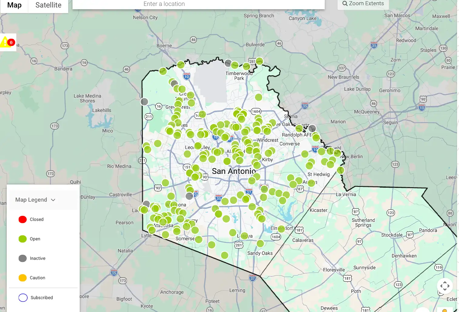
The San Antonio River Authority’s floodplain viewer can help residents explore flood risk near a particular address. For current conditions at low-water crossings, residents can visit BexarFlood.org or SARiverFlood.org.
SARiverFlood.org displays conditions at monitored low-water crossings throughout the River Authority’s four-county jurisdiction:
- Green indicates that a road is open.
- Yellow means water is rising.
- Red means the road is closed.
- Gray means the sensor is inactive.
Users can create an account and subscribe to text or email alerts for individual crossings near their homes, workplaces, schools and other regular destinations.
“If a road is closed, they will receive an alert and can plan an alternate route,” Morlan said. “They will receive another alert when the crossing reopens.”
The system’s road-closure information is also integrated with Google Maps and Waze, allowing those navigation apps to display closures and recommend alternate routes in real time.
New technology supports faster warnings
Bexar County and the San Antonio River Authority are also implementing the NextGen Flood Warning System to strengthen flood monitoring and public safety.
“NextGen is new technology that helps us provide more accurate and timely information about changing flood and road conditions, allowing residents and emergency responders to make safer, better-informed decisions during rain events,” Boese said.
The regional initiative brings together the River Authority, Bexar County and other local jurisdictions to upgrade flood-detection equipment and public alerts. During major storms, River Authority engineers monitor changing conditions around the clock and coordinate with partner agencies to help ensure gauges at low-water crossings are functioning.
Technology can provide critical information, but residents still need to prepare in advance and respond appropriately when danger develops. That means enabling emergency alerts on mobile phones, monitoring reliable weather sources and never ignoring road closures or barricades.
“The single most important action is to remember that if you see water covering a road, do not drive through it,” Morlan said. “More than half of all flood deaths occur when people drive through floodwaters.”
To explore flood facts, safety guidance, planning checklists and additional preparedness resources, visit FloodsDontCare.com.