
FORECAST HIGHLIGHTS
- THIRD TRIPLE DIGIT DAY: 102° today at SA International
- LOW BRINGS A SHOWER OR TWO: Very small rain chance Friday
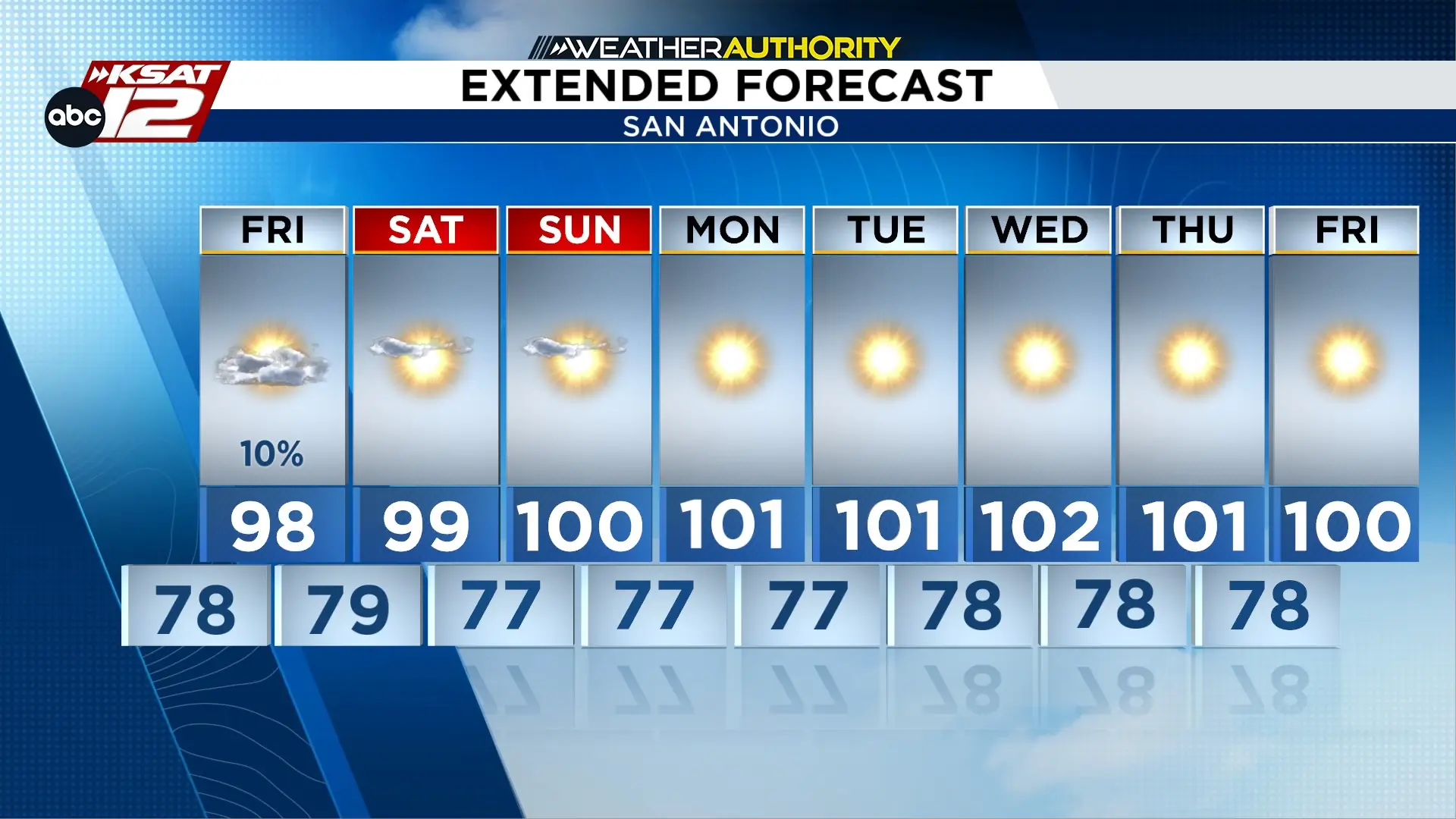
- A STRING OF TRIPLE DIGITS: Next week could be our hottest stretch of the year
- STILL WATCHING THE TROPICS: Potentially Dolly & Edouard, too
FORECAST
ANOTHER DAY AT THE CENTURY MARK
Today was our hottest day so far this year with a high of 102°, but tomorrow shouldn’t be quite as hot due to additional clouds overhead.
A SHOT AT A SHOWER FRIDAY
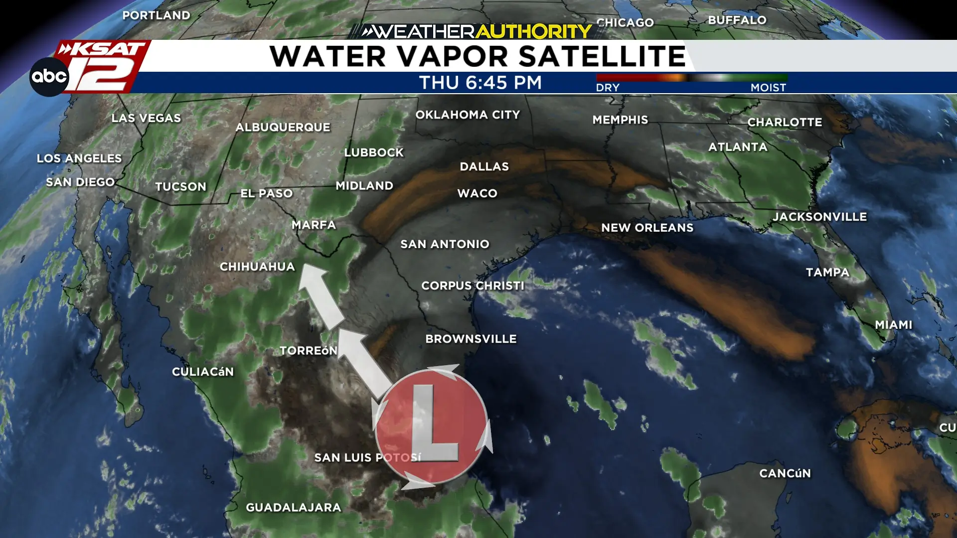
A non-tropical swirl over Eastern Mexico will work its way up the Rio Grande on Friday. While this disturbance could stir up a shower, rain chances sit at only 10%. Added clouds on Friday will bring temperatures down slightly.
A STRETCH OF TRIPLE DIGIT HEAT
Everyday next week could feature a high at 100° or above. Unfortunately, the heat high has found its footing and will park itself over the middle of the country, leaving us dry and HOT.
TROPICS
The next named system would be “Dolly” and may form in the southern Atlantic, however, it will also likely will fall apart once arriving to the Caribbean. Another wave behind that could later become Edouard.


KSAT meteorologists keep you on top of the ever-changing South Texas weather.
QUICK WEATHER LINKS
- Download FREE KSAT Weather Authority App: Up-to-date forecast information and livestreams from trusted local meteorologists.
- KSAT Connect: Share your weather photos.

